-
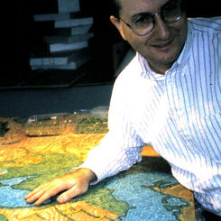
 Artist and mosaic in progressRick Shelley and one panel of the Mosaic Map showing unfinished mountains.
 -
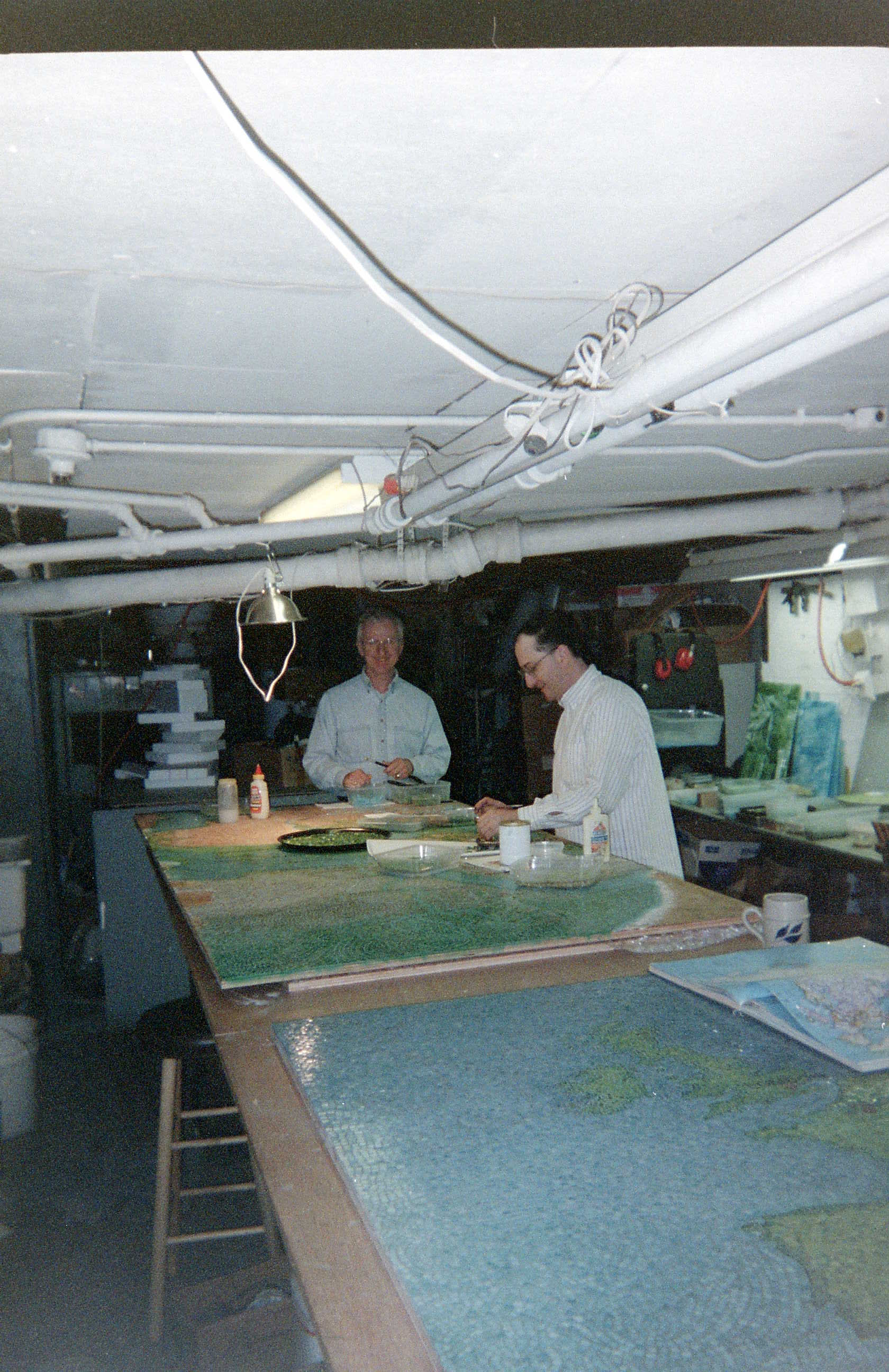
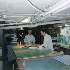
 Panels in studioWorking on a panel of the Mosaic Map in the Mt. Royal Studio.
 -
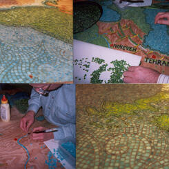
 Mosaic Map in progressGluing blue glass and green glass onto marine plywood panels.
 -
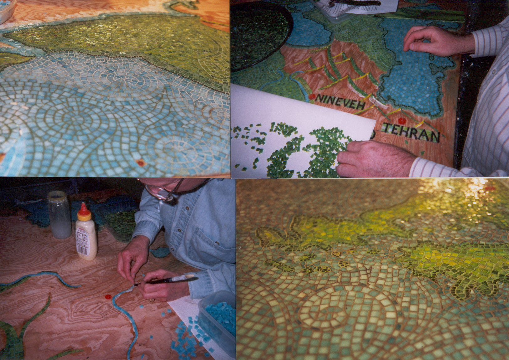
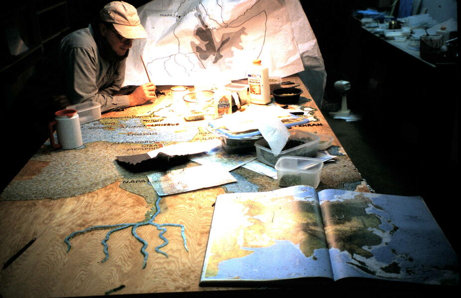 Paper cartoon, atlas, and guide mapsSketching in land masses, rivers, and European cities.
 -
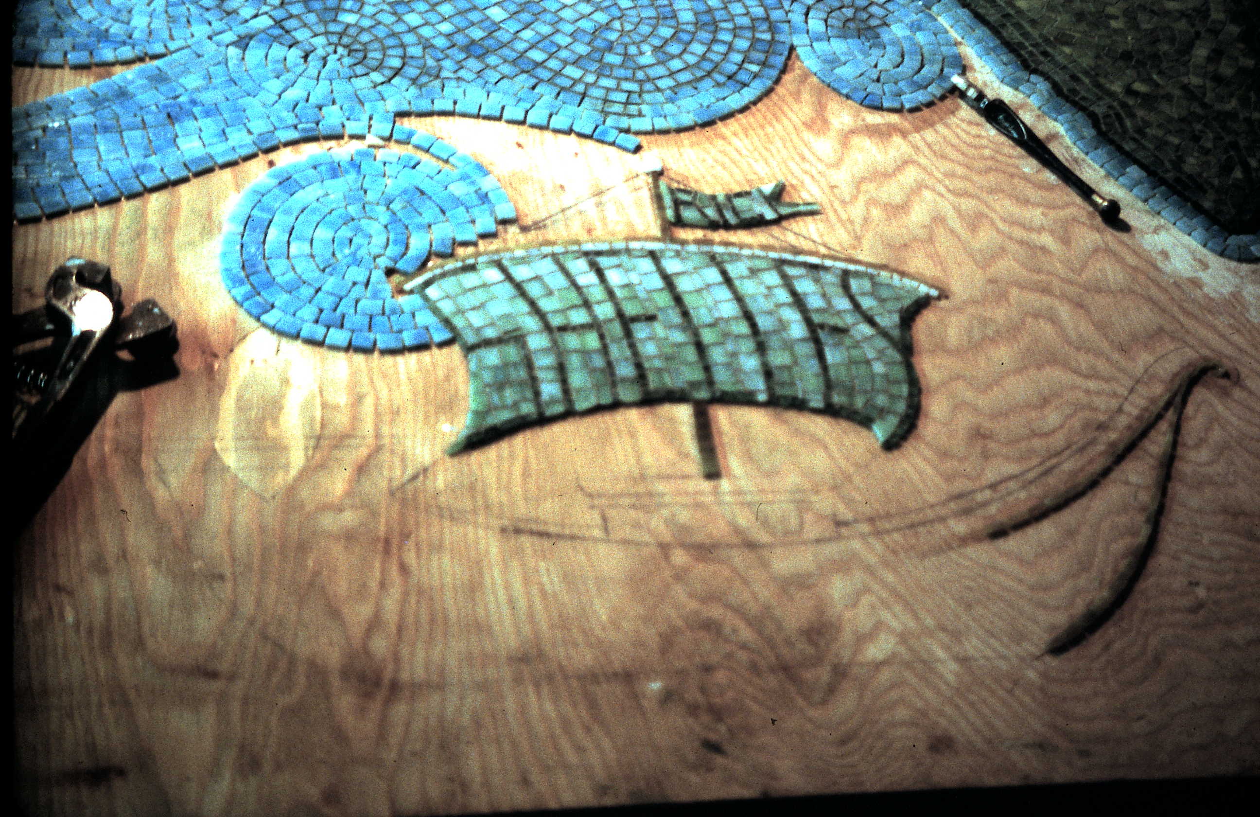
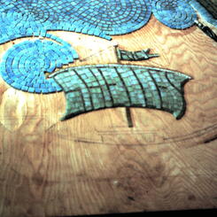
 Ship in progressMainsail and topsail with artist's name. Sketch of cabin and ship below.
 -
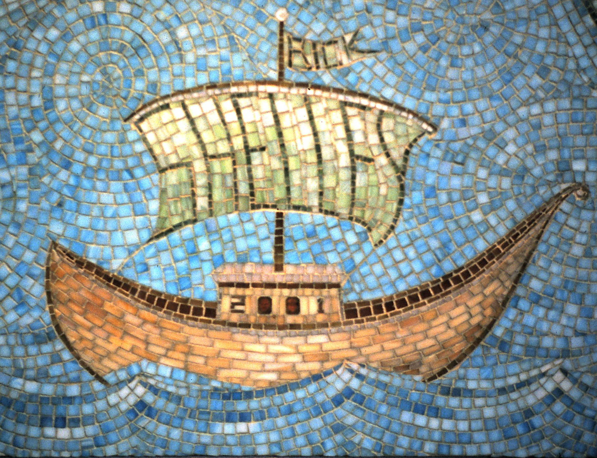
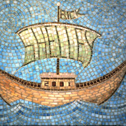
 Ship in the Indian OceanThe artist's name is written in the ship's sails and the date of completion appears on the ship's cabin. Rick Shelley and his assistant peer out of the round windows.
 -
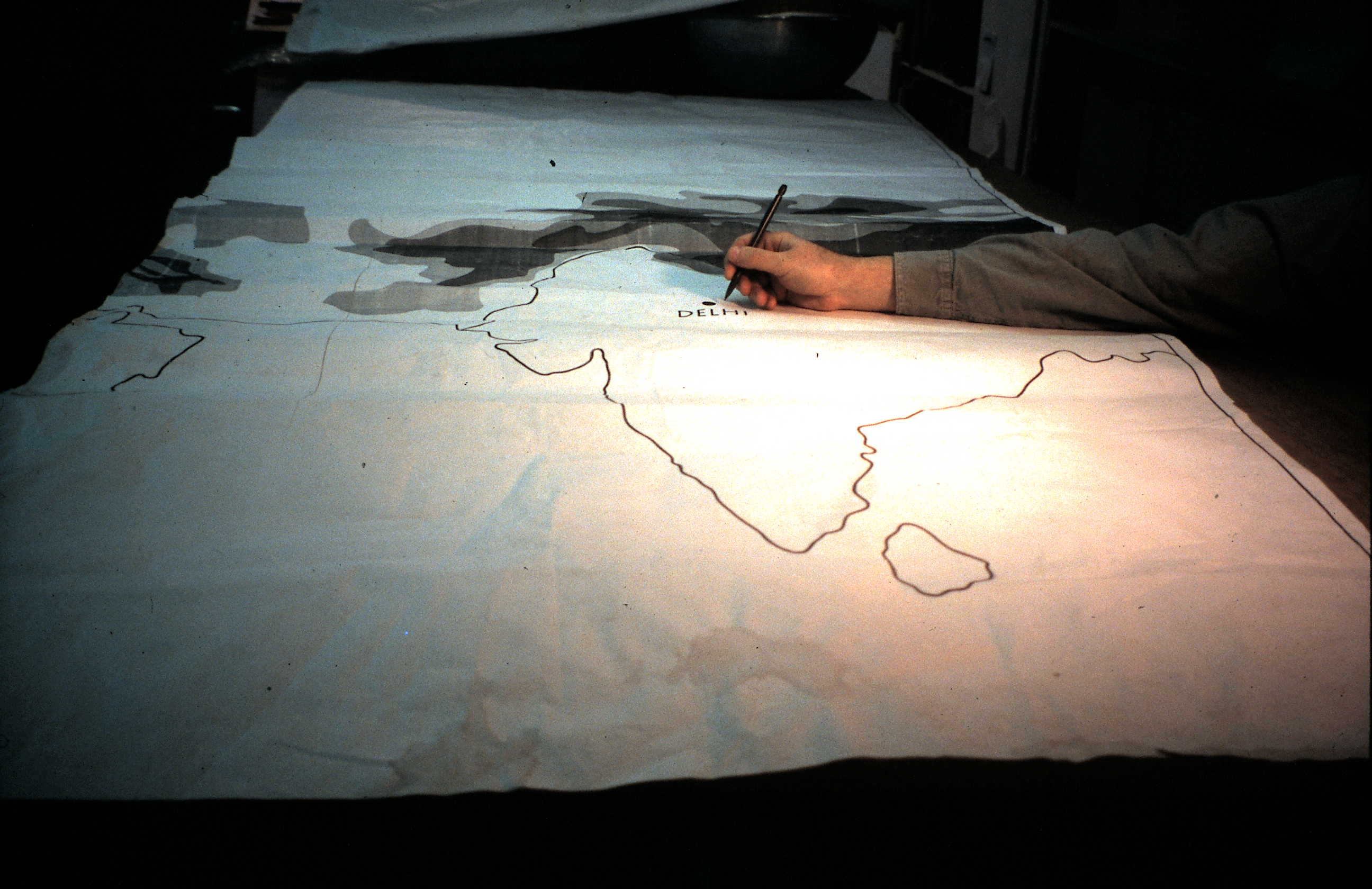
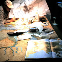
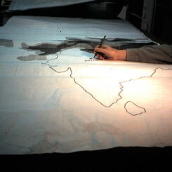
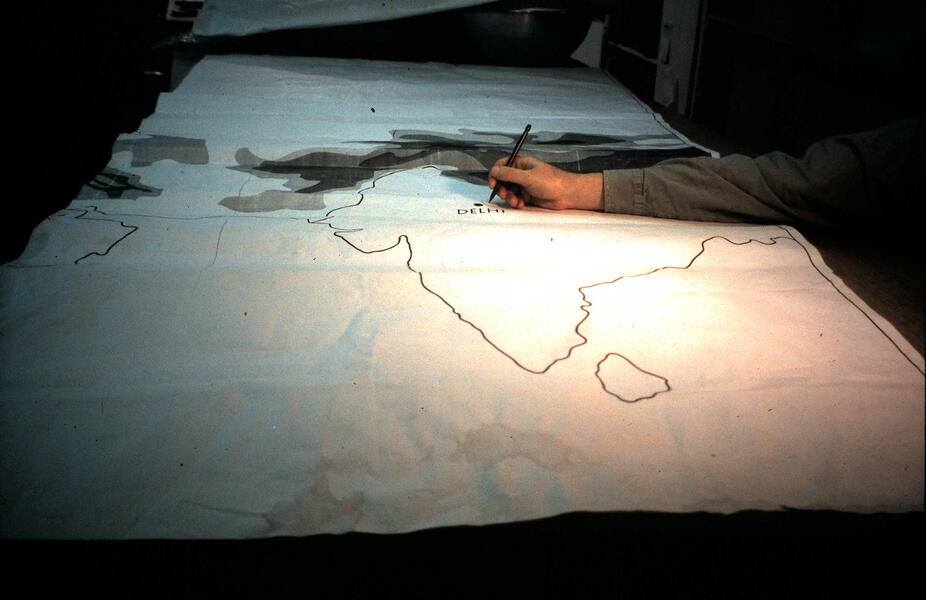 Paper outline of India and Sri LankaTracing the paper cartoon to transfer outlines onto the wood panel underneath.
 -
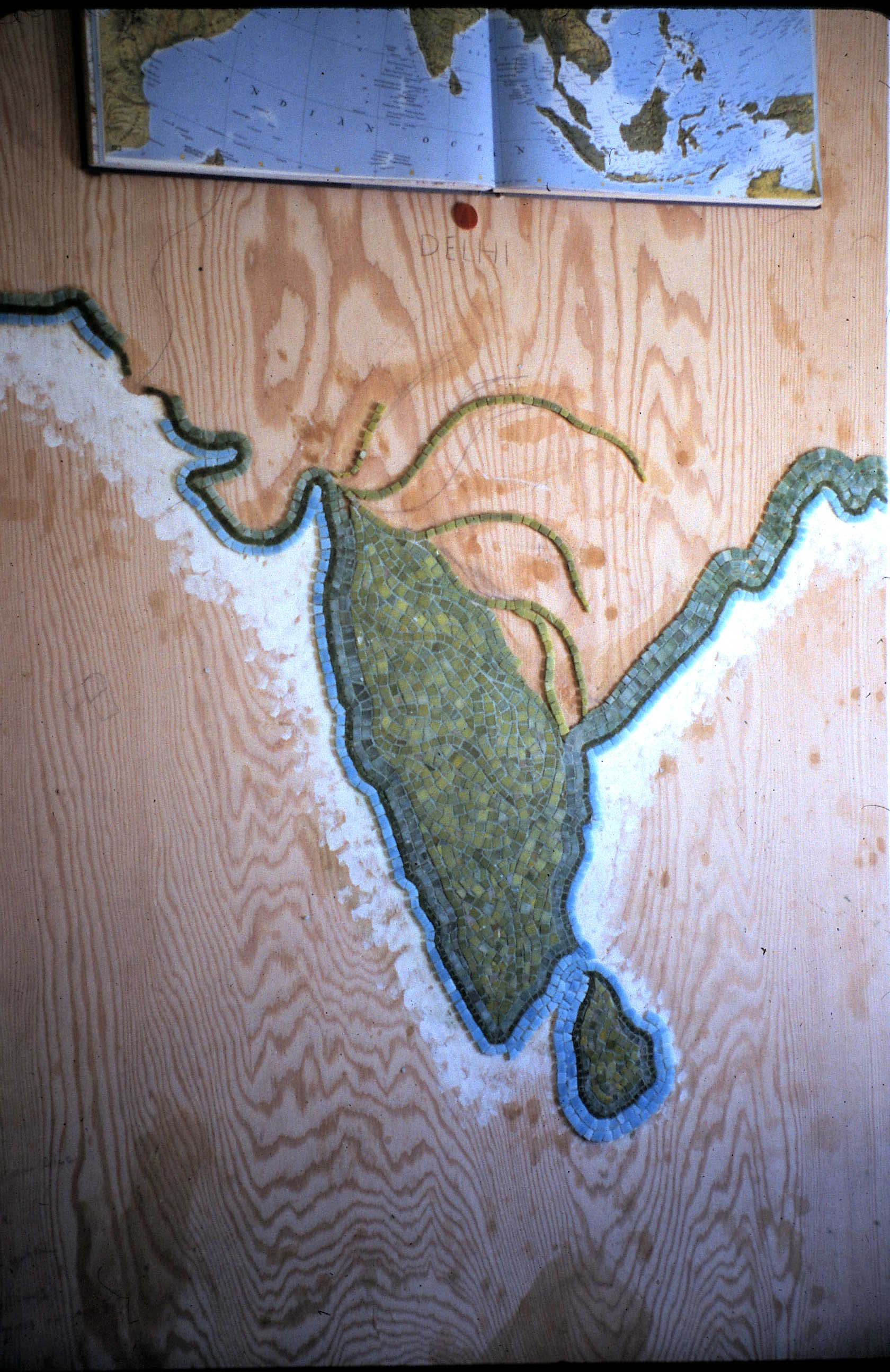
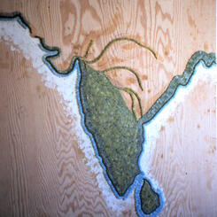
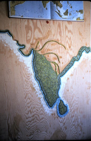 India, Sri LankaFilling in the Indian sub-continent with green glass and beginning the blue glass outlines in the Indian Ocean.
 -
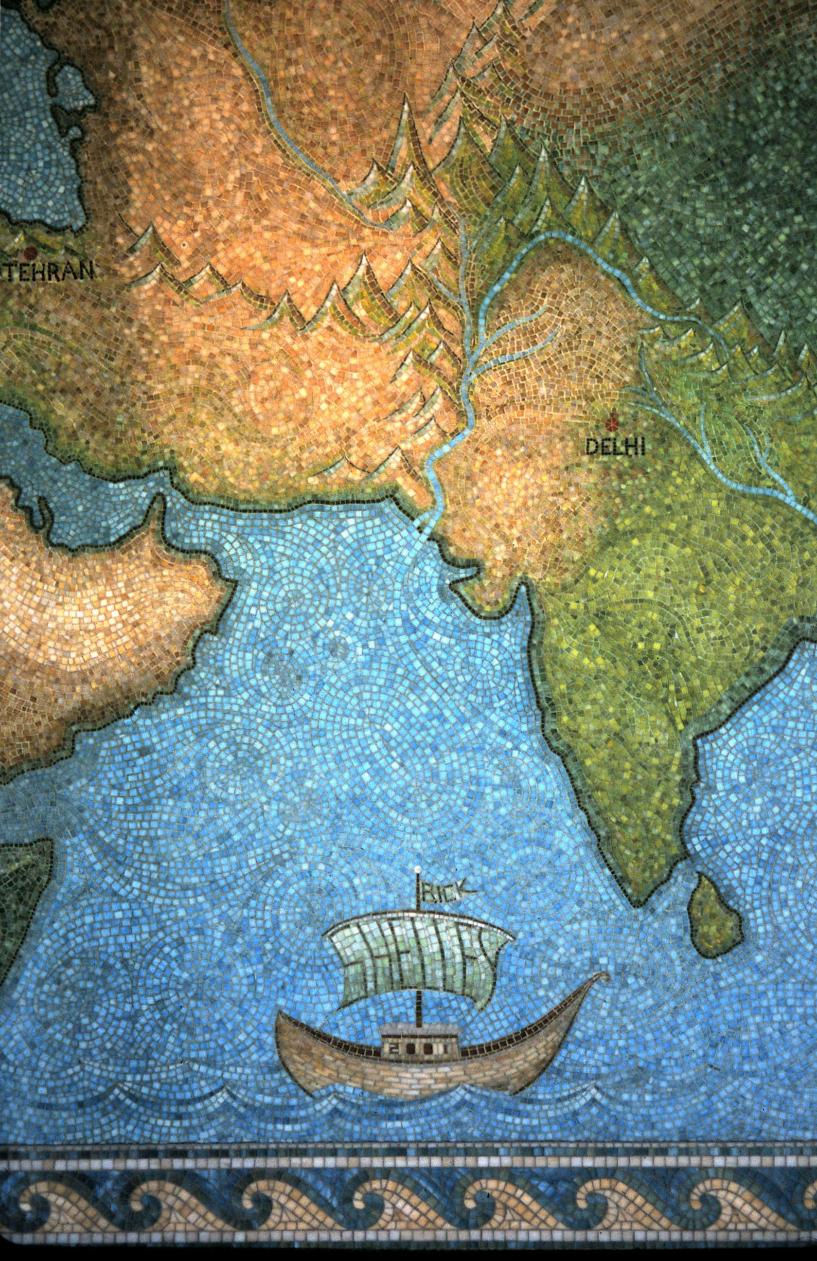
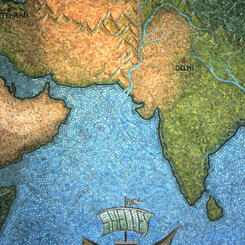
 Ship, India, Middle EastSection of the finished map showing land masses, oceans, rivers, mountains, and ship.
 -
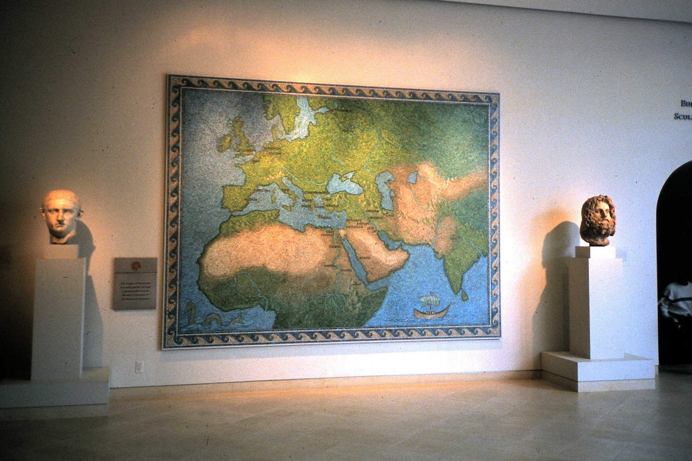
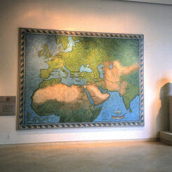
 Mosaic Map of the Ancient and Medieval WorldCompleted map with wave border. 9' x 12' in the second floor lobby of the Walters Art Museum.